Main Services
TOPOGRAPHICAL SITE SURVEYS
BOUNDARY SURVEYS & LEGAL MAPS
ROAD & BRIDGE SURVEYS
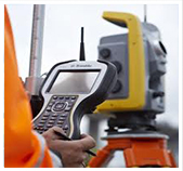
We carry out Topographical Surveys of various sizes from single house sites up to 5000 acre sites for planning and design purposes.
Where there is a
boundary dispute
Laser Surveys can advise on the best way to proceed.
Laser Surveys are on the
NTA
(National Transport Authority) approved panel of Topographical Surveyors.
ADDITIONAL SERVICES
Measured Building Surveys
Construction Setting Out
Land Registry Maps
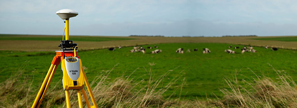
GPS Control Surveys
Monitoring Surveys
Survey Consultancy
Underground Services Surveys
Historic Document Research
Contact us today for a consultation or a quotation.
CLIENTS
RECENT ARTICLES
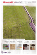
"Can reference to the original mapping made more than a century ago improve boundary accuracies and perhaps help resolve a boundary dispute?"
"Kieran O'Shea presents a novel method of tracing boundaries using the original survey records behind the 19th century Irish 6 inch mapping."
Reproduced from Geomatics
World
, Issue 4, Volume 20, May | June 2012 with the kind permission of the Editor and publishers PV Publications Ltd
Professional Member of
Irish Institute of Surveyors
FOLLOW US
Main
|
About Us
|
Services
|
News
|
Contact Us
Laser Surveys © 2013 |
Privacy Policy